
 Back
hike
Back
hike
Tour de la roche d'Etache - 2-day hike
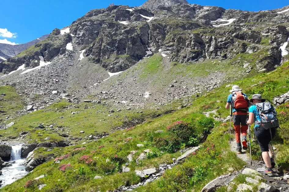
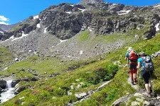
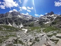
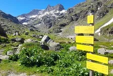
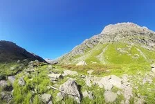
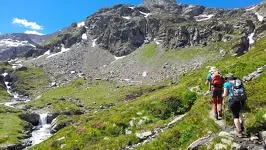
If you're a fan of undiscovered regions, the Val d'Ambin is the place for you. Between mountain pastures and high-altitude passes, this short getaway promises a weekend out of the ordinary. It's the ideal introduction to the pleasures of itinerancy.
Additional welcome
You must book your overnight stay at a mountain hut in advance. Stay on the trails, follow the signs, and take your trash with you.
Environments
-
 Mountain view
-
Mountain location
-
Overview on river
-
Panoramic view

Rates
Free access.
Itinerary
-
Distance
23km
-
Route type
One-way ticket
-
Elevation gain
1300m
-
Negative gradient
1380m
-
Roaming time
2 days
-
Signposted itinerary
Yes
-
Beaconing accuracy
Yellow departmental signs all along the way.
-
Nature of the land
Stone,
Ground,
Grit,
Not suitable for strollers
-
Maximum altitude
2968m


Opening period
Itinerary accessible outside snow periods and subject to favorable weather conditions. Check your local weather forecast in real time up to the day of departure.
Additional opening
-
Subject to favorable weather
-
Subject to snow conditions
Location
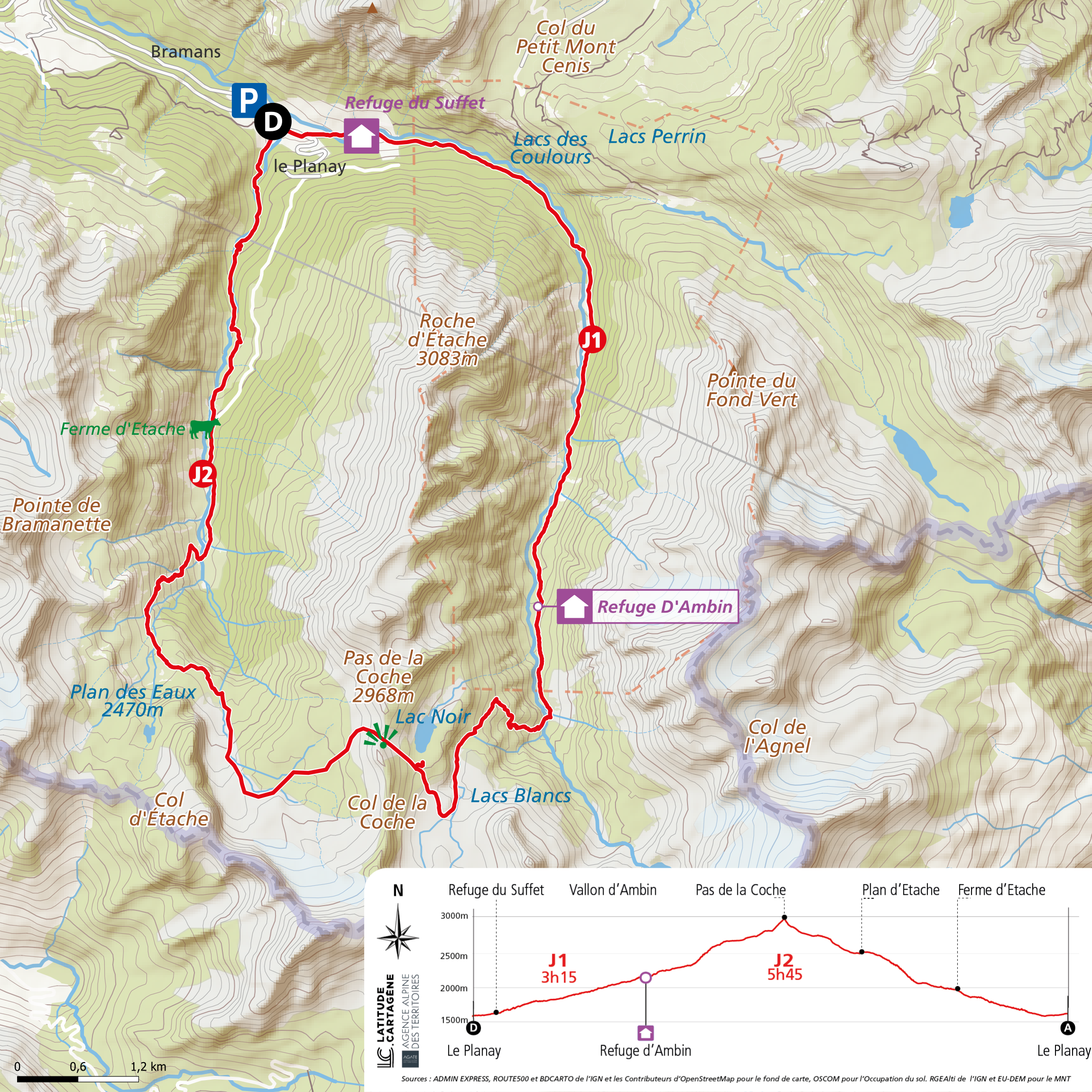
Take RD100 out of Bramans on a narrow paved road. Stop at the Planay parking lot before the bridge leading to the Refuge du Suffet. Parking is available for several nights.
Documents


Animals
Pets allowed : Yes
Pets allowed with supplement : No
Animals must be kept on a leash throughout this itinerary for your safety and that of the herds.
Guidebook with maps/step-by-step
-
Start: Refuge du Suffet in Val Cenis Bramans
1/ DAY 1: Refuge du Suffet (1680m) - Refuge d'Ambin (2270m) Time: 3h30 / Ascent: +590m / -90m
2/ DAY 2: Refuge d'Ambin (2270m) - Refuge du Suffet (1680m) Time: 6h30 / Ascent: +710/ -1290m


-
Distance
23km
-
Roaming time
2 days
-
Elevation gain
1300m
-
Negative gradient
1380m


-
Bramans
hike
2-day walking tour of the Roche d'Eta...
- Distance 7.3 km
- Daily duration 3:30
- Elevation gain 590m
- Negative gradient 90m
-
Bramans
hike
2-day walking tour of the Etache rock...
- Distance 16km
- Daily duration 6:30 a.m.
- Elevation gain 710m
- Negative gradient 1290m
-
Bramans
collective accommodation
Refuge of Ambin