Back
hike
Back
hike
3-Day Hiking Tour of the Etache Rock - Stage 2 - From the Ambin Refuge to the Suffet Refuge
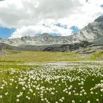
If you're a fan of undiscovered regions, the Val d'Ambin is the place for you. Between alpine pastures and high-altitude passes, this escapade promises an extraordinary journey. And as an added bonus, a precious foray into the Savine valley.
Additional welcome
You must book your overnight stay in a refuge in advance.
Stay on the trails, following the signs, and take your garbage with you.
Environments
-
 Mountain view
-
Mountain location
-
Overview on river
Rates
Free access.
Itinerary
-
 Distance
16km
Distance
16km
-
 Route type
One-way ticket
Route type
One-way ticket
-
 Elevation gain
710m
Elevation gain
710m
-
 Negative gradient
1290m
Negative gradient
1290m
-
 Daily duration
6:30 a.m.
Daily duration
6:30 a.m.
-
 Signposted itinerary
Yes
Signposted itinerary
Yes
-
 Beaconing accuracy
Departmental yellow signposting.
Beaconing accuracy
Departmental yellow signposting.
-
 Nature of the land
Stone,
Ground,
Grit,
Not suitable for strollers
Nature of the land
Stone,
Ground,
Grit,
Not suitable for strollers
-
 Maximum altitude
2968m
Maximum altitude
2968m
Opening period
Itinerary accessible outside snow periods and subject to favorable weather conditions. Check the local weather forecast in real time up to the day of departure. Information on trail and hut access conditions is available from the tourist office .
Documents

Animals
Pets allowed : Yes
Pets allowed with supplement : No
Animals must be kept on a leash throughout this itinerary for your safety and that of the herds.
Guidebook with maps/step-by-step
-
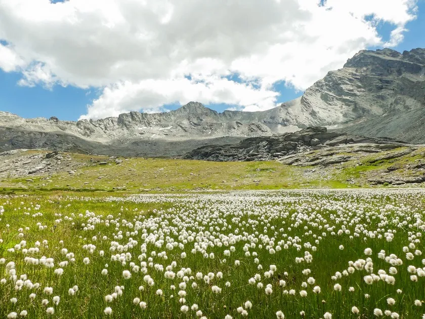
2/ Start early to reach the highest point. You’ll be entering a more rocky landscape, which is sometimes still heavily snow-covered in early summer. Crampons and trekking poles will often come in handy to help you navigate the late snowfields near Lac Noir. The abundant signage makes it easy to follow the trail intuitively.
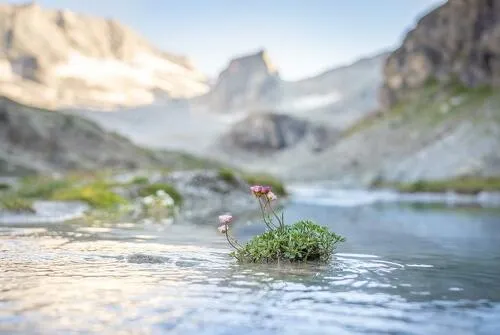
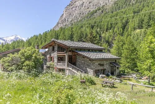
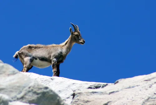
At an altitude of 2,710 meters, the Pas de la Coche is just ahead. Shy chamois sometimes watch you from afar. Now you’re facing the final challenge, which promises an unparalleled high-mountain experience. Such a wild pass at an altitude of nearly 3,000 meters isn’t for everyone! Now it’s time to cross to the other side of the Roche d’Etache via the Pas de la Coche. The descent requires caution as you navigate scree slopes and flat sections. What an impressive cliff seen from below! Take the time to stop at the foot of this fascinating giant. In fine weather, blooming rhododendrons give a fuchsia-pink hue to the alpine grass lining the slopes. From the Plan des Eaux descent, can you make out the footbridge over the Plan d’Etache torrent? There’s no doubt it will mark your next refreshing break. Now you’re immersed in the calm of the valley. Take the opportunity to stop at the Etache farm for refreshments in a bucolic atmosphere. Local products and carefully selected drinks will round out the end of your day. This rejuvenating stop is the start of a 2 km descent along the torrent.


-
Distance
16km
-
Daily duration
6:30 a.m.
-
Elevation gain
710m
-
Negative gradient
1290m