Back
hike
Back
hike
Hiking to Ouillon des Arcelins via Canopée des cimes

Explore a slope full of exotic surprises. Taste the exhilaration of the peaks at Val Cenis and overlook one of Haute Maurienne Vanoise's most emblematic sites. Which of the region's nuggets will you discover?
Description
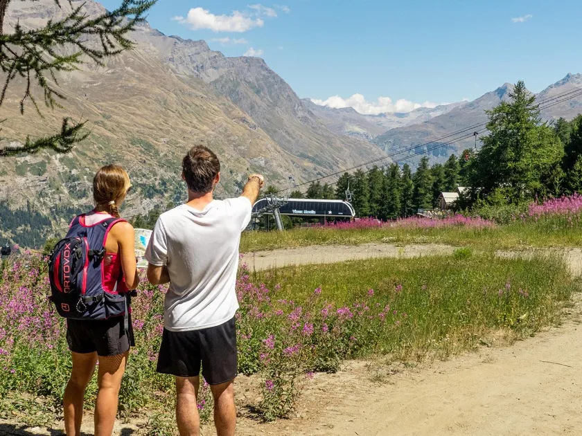
After an effortless ascent thanks to the lifts, you begin your escape at 2565m altitude. The temperature immediately contrasts with that of the valley, which you left just 15 minutes earlier. Climb even higher to the Col de la Met. What an exhilarating panorama from the belvedere at 2740m! On a clear day, you're guaranteed to be immersed. In front of you, 9 remarkable peaks share the limelight with Lake Mont Cenis. Can you identify them on the unusual orientation table?
Tackle the descent to the Col de la Tomba with care, so that your legs don't suffer too much from the laws of gravity.
On the Ouillon des Arcellins, the well-marked path alternates between alpine grass and unstable rock. You'll need sure-footedness and experience of aerial passages to fully savor the magic of this ridge, which is nonetheless without specific danger. If you're afraid of aerial passages, take the carriage path and temporarily deviate from the route.
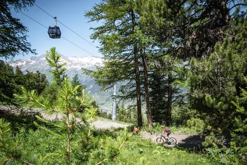
A playful path cut through the high moor gradually leads to the top of the Vieux Moulin gondola.
End your escapade by sharing a wide track with regular mountain bikers. Boarding the Vieux Moulin gondola is now imminent. Unless a gourmet break awaits you at the Fema high-altitude restaurant...
Additional welcome
The duration of hiking trails is calculated using reference paces: 300 m/h ascent, 500 m/h descent and 4 km/h on the flat.
As hazards may occur at any time on the routes, the GPX tracks provided are not contractual. They are given for information only. Riders use them at their own risk, depending on their level of technological proficiency and their understanding of the terrain.
Environments
-
 Close to a public transportation
-
Forest location
-
Near shuttle stop
-
Mountain view
-
Mountain location
-
Pond within 5 km
Rates
Admission is free, but a transportation fee applies. A ticket is required to use the lifts.
Itinerary
-
 Distance
6km
Distance
6km
-
 Route type
One-way ticket
Route type
One-way ticket
-
 Elevation gain
215m
Elevation gain
215m
-
 Negative gradient
680m
Negative gradient
680m
-
 Daily duration
2:00 a.m.
Daily duration
2:00 a.m.
-
 Signposted itinerary
Yes
Signposted itinerary
Yes
-
 Beaconing accuracy
Departmental markings (yellow blade)
Beaconing accuracy
Departmental markings (yellow blade)
-
 Nature of the land
Ground,
Grit,
Not suitable for strollers
Nature of the land
Ground,
Grit,
Not suitable for strollers
-
 Maximum altitude
2740m
Maximum altitude
2740m
Opening period
Daily from July 1 to August 31.
Accessible by ski lift in summer.
Subject to favorable weather conditions.
Additional opening
-
Subject to favorable weather
Location
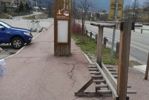
The hike starts at the top of the Vieux Moulin chairlift and then the Solert chairlift.
To get there by bus: Line S53 - Vieux Moulin cable car stop
By car: park in the parking lots opposite the gondola lift.
Documents

Animals
Pets allowed : No
Pets are not allowed on the lifts.
Guidebook with maps/step-by-step
-
To guide you in the field, consult the "step-by-step" directional diagram provided in pdf.


-
Distance
6km
-
Daily duration
2:00 a.m.
-
Elevation gain
215m
-
Negative gradient
680m