Back
hike
Back
hike
Snowshoeing itinerary: Forts de l'Esseillon

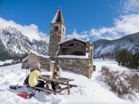
Discover the Forts de l'Esseillon and let the trail guide you through history and the mountains.
Description
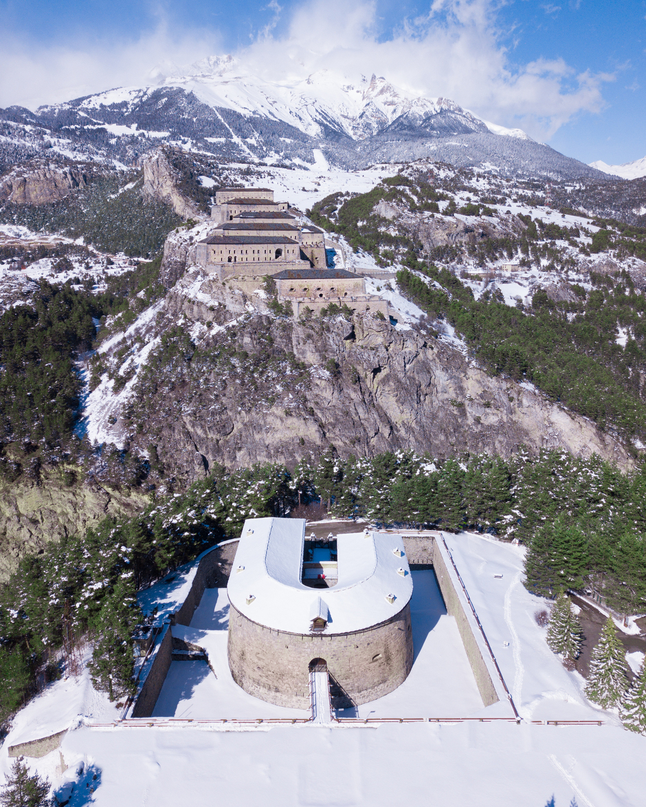
As you hike, you make your way step by step toward the Marie-Thérèse Redoubt, proud and austere, before Fort Victor-Emmanuel comes into view, towering over the valley like an unwavering guardian. At every turn, the hike becomes an immersion into a fascinating heritage where fortifications and landscapes intertwine, offering a timeless journey you won’t soon forget.
Additional welcome
Check the weather conditions and avalanche risk before you set out (weather services, mountain rescue services, professionals, tourist office...).
Make sure your gear and clothing are appropriate for the forecast.
Postpone your activity if the weather forecast is poor. Follow safety instructions and do not stray from marked trails in winter.
Environments
-
 Mountain view
-
Mountain location
-
10 - 20 min from a train station by car
-
Less than 10 minutes from a bus stop on foot
Rates
Free access.
Itinerary
-
 Distance
7.6 km
Distance
7.6 km
-
 Route type
Round trip
Route type
Round trip
-
 Elevation gain
270m
Elevation gain
270m
-
 Negative gradient
270m
Negative gradient
270m
-
 Daily duration
03h45
Daily duration
03h45
-
 Signposted itinerary
Yes
Signposted itinerary
Yes
-
 Nature of the land
Non-groomed itinerary
Nature of the land
Non-groomed itinerary
-
 Maximum altitude
1345m
Maximum altitude
1345m
Opening period
Daily from December 15 to April 1.
Subject to favorable snow and weather conditions.
Additional opening
-
Subject to favorable weather
-
Subject to snow conditions
Location
As hazards may occur at any time on the routes, the GPX tracks provided are not contractual. They are provided for information only. Riders use them at their own risk, depending on their level of technological proficiency and their understanding of the terrain.

Animals
Pets allowed : Yes
Pets allowed with supplement : No
Out of respect for wildlife, please keep your dog on a lead.
Guidebook with maps/step-by-step
-
1/ From the Bramans town hall, head toward La Norma and cross through the village center. Continue straight through Bramans until you reach the area known as Croix du Mollard Chez Nous.
2/ 0 h 30 - At the intersection marked by a cross, take the central path, which descends slightly. Follow the wide track to Route du Nant, passing the Ruisseau des Cascadelles.
3/ 2 hrs - At Route du Nant, enjoy the views of the Forts de l'Esseillon visible through the forest clearings. Make a U-turn and return along the same path to the Bramans town hall.
5/ 3 hrs 45 mins - Bramans town hall.


-
Distance
7.6 km
-
Daily duration
03h45
-
Elevation gain
270m
-
Negative gradient
270m