

 Back
hike
Back
hike
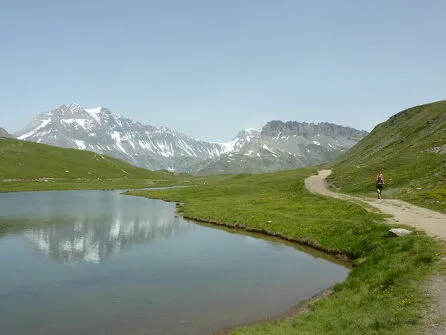
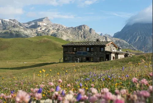
Hiking trail The alpages d'Entre deux Eaux
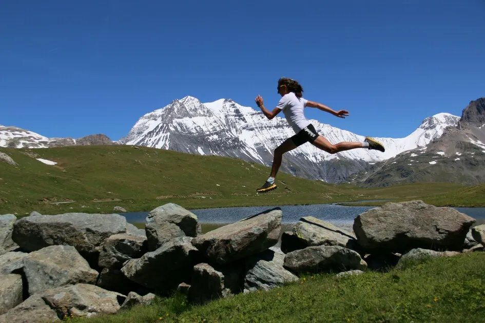
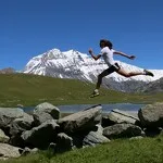
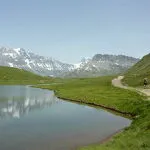
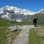
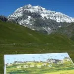
At the heart of the Vanoise National Park, this walk offers a real escape into a wild, unspoilt area.
Description
Starting altitude: 2053 m
Highest point: 2367 m
Type of route (loop, round trip): outward/return
Environments
-
 Waterside
-
Lakeside or by stretch of water
-
Lake view
-
Mountain view
-
Mountain location
-
Close to GR footpath
-
Panoramic view
Itinerary
-
 Distance
17km
Distance
17km
-
 Route type
LOOP
Route type
LOOP
-
 Elevation gain
440m
Elevation gain
440m
-
 Negative gradient
440m
Negative gradient
440m
-
 Daily duration
3:45 a.m.
Daily duration
3:45 a.m.
-
 Signposted itinerary
Yes
Signposted itinerary
Yes
-
 Nature of the land
Not suitable for strollers
Nature of the land
Not suitable for strollers
-
 Maximum altitude
2367m
Maximum altitude
2367m
Opening period
Daily from April 15 to October 31.
Location
Car access and parking: After crossing the village of Termignon la Vanoise, turn left in the big bend, in the direction of Entre Deux Eaux. Follow the road to the Bellecombe car park.
Map: IGN Top 25 map: 3633ET Tignes Val d'Isère - Haute Maurienne
Topoguide: La Maurienne on foot Ref: p. 731
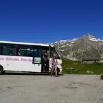
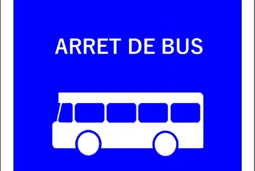
Possibility to take the Val Cenis-Entre-Deux-Eaux shuttle in the summer season only and get off at the "Parking de Bellecombe" stop
Animals
Pets allowed : No
Access prohibited in the Vanoise National Park - protected area.
Guidebook with maps/step-by-step
-
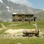
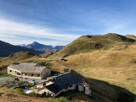
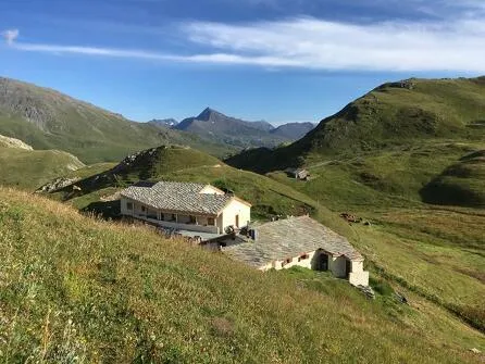
At the shuttle information panel, take the path to the right towards Plan du Lac which leads to the (guarded) refuge of the same name. The path descends in the direction of between two waters. At the St Barthélémy chapel, cross the road and go down to the left of the building in the direction of the Rocheure torrent. Cross the torrent. Climb towards the guarded refuge of between two waters. Continue towards the Leisse refuge (guarded), pass the chapel of St Pierre then turn left. The path passes near the alpine chalets and leads back to the Renaudière bridge. Possibility to reach the Bellecombe car park by shuttle (see timetables at the Tourist Office).


-
Distance
17km
-
Daily duration
3:45 a.m.
-
Elevation gain
440m
-
Negative gradient
440m


-
Termignon
 hike
hikeHiking trail Le Lac Blanc and refuge...
- Distance 9.7km
- Daily duration 3:30
- Elevation gain 420m
- Negative gradient 420m
-
Termignon
 restaurant
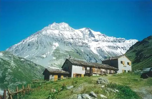
Plan du Lac refuge
- Mountain restaurant
-
Termignon
 restaurant
Restaurant d'Entre-Deux-Eaux
- Mountain restaurant
-
Termignon
 restaurant
L'Auberge de Bellecombe
- Mountain restaurant
-
Termignon
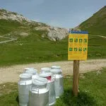
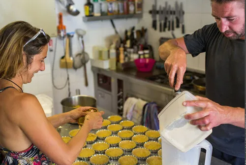
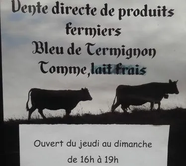
 tasting
Bellecombe Farm
-
Termignon
 tasting
Murielle Bantin
-
Termignon
 collective accommodation
Bellecombe Shelter
-
Termignon
 collective accommodation
Plan du Lac refuge
-
Termignon
 trade and service
Bus stop N°350 : Bellecombe car park
-
Termignon
 trade and service
Bellecombe car park
-
Aussois
 natural heritage
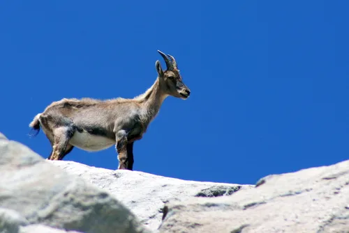
Vanoise National Park
- Mountain
- Peak
- Glacier
- Mountain lake