

 Back
hike
Back
hike
TGV - Stage 3 - From the Refuge de l'Arpont to the Refuges d'Aussois
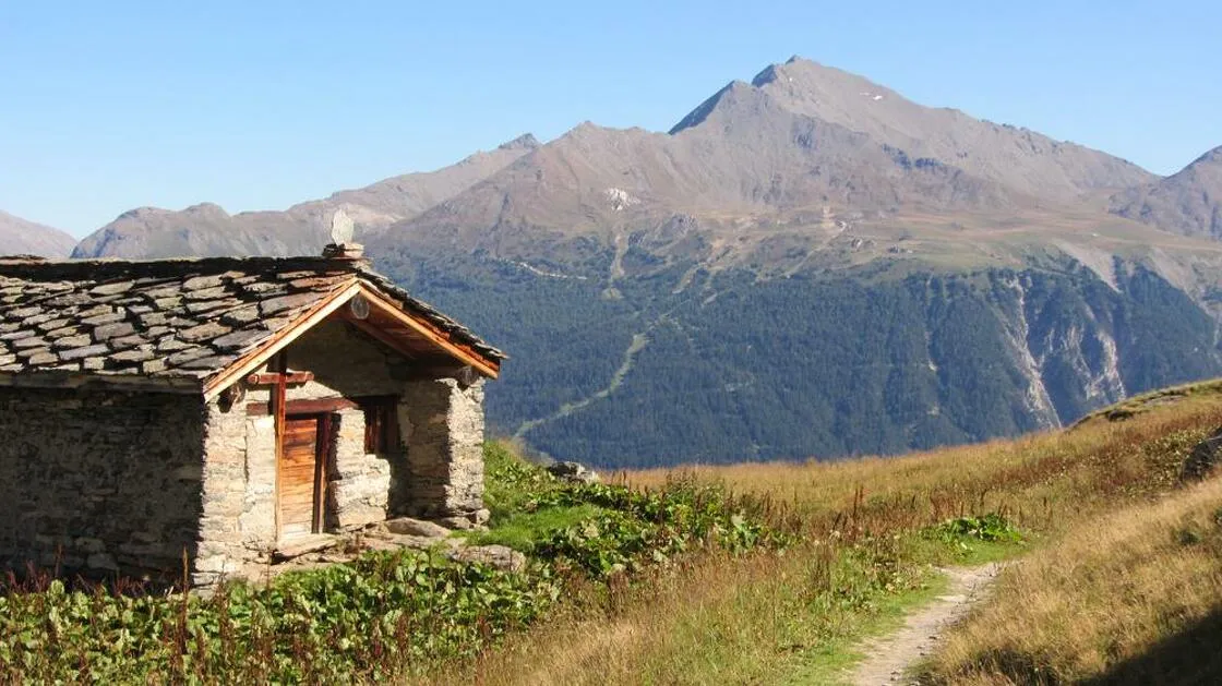
In the heart of the Vanoise National Park, the Tour des Glaciers de la Vanoise is one of the most beautiful and emblematic itinerant hikes in the Alps.
Description
A tour of the Vanoise ice cap, where you'll flirt with an extraordinary variety of landscapes, from alpine pastures to eternal snow.
and eternal snow.
No doubt you'll come across ibex and chamois, or for the more observant, admire the flight of the bearded vulture or golden eagle.
Environments
-
 Mountain view
-
Mountain location
Itinerary
-
 Route type
One-way ticket
Route type
One-way ticket
-
 Elevation gain
505m
Elevation gain
505m
-
 Negative gradient
615m
Negative gradient
615m
-
 Daily duration
7:00 a.m.
Daily duration
7:00 a.m.
-
 Signposted itinerary
Yes
Signposted itinerary
Yes
-
 Beaconing accuracy
GR5 and GR 55 (red and white paint + yellow signs)
Beaconing accuracy
GR5 and GR 55 (red and white paint + yellow signs)
-
 Nature of the land
Stone,
Ground,
Not suitable for strollers
Nature of the land
Stone,
Ground,
Not suitable for strollers
Additional opening
-
Subject to favorable weather
-
Subject to snow conditions
Labels
Location
Top 25 map - IGN 3534 OT Trois Vallées Modane
+ a small part of the itinerary on Top 25 - IGN 3633 ET Tignes Val d'Isère Haute Maurienne
TopoGuide GR® La Vanoise - Parc national de la Vanoise.
Access by car and parking
From Albertville, take the RN 90 to Moûtiers, then follow the Bozel valley. Pralognan-la-
Vanoise is then signposted. Park at the "Parking du Bouquetin" in the village center.
Documents

Animals
Pets allowed : No
Vanoise National Park protected area
Guidebook with maps/step-by-step
-
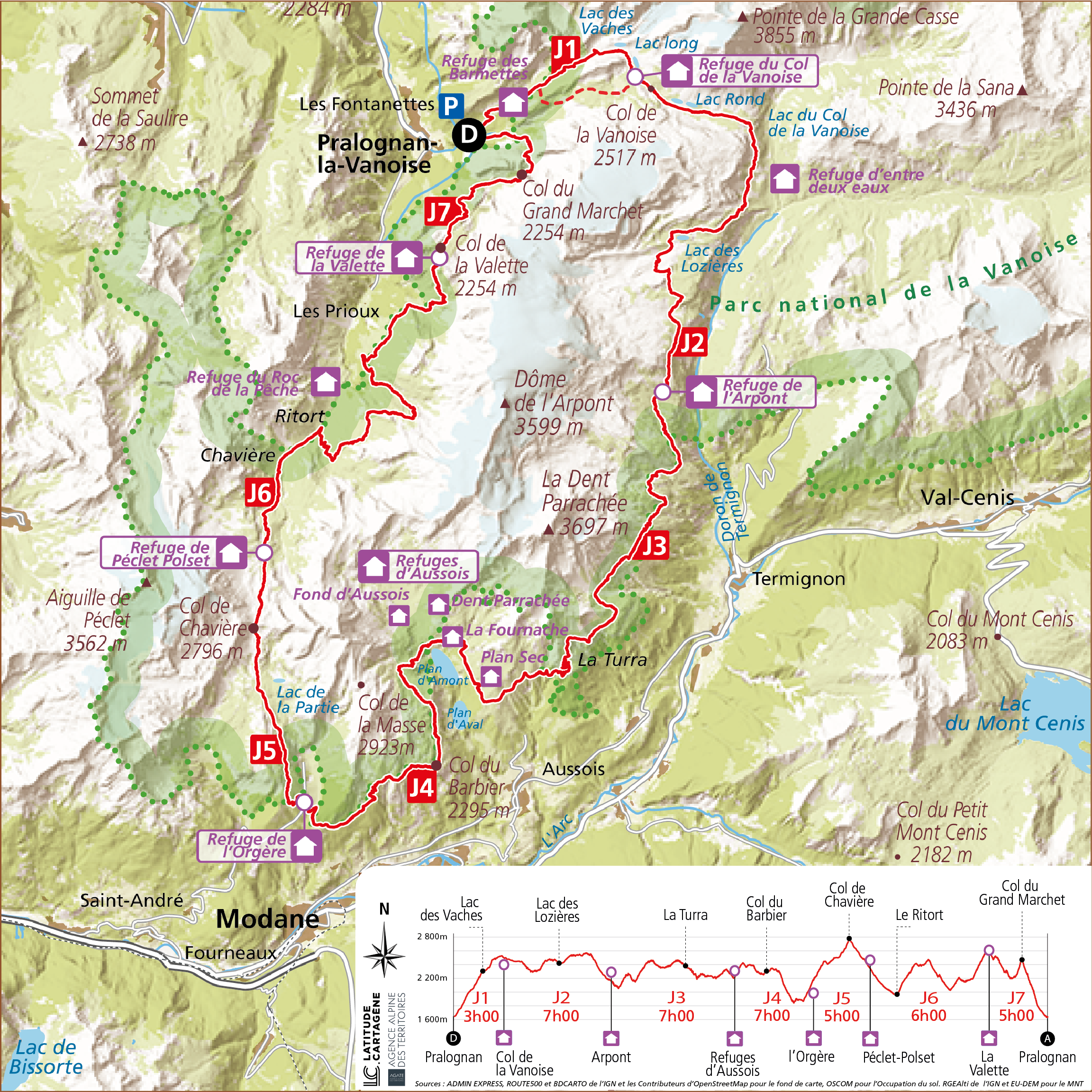
DAY 3: Refuge de l'Arpont (2309 m) - Refuges d'Aussois (Plan d'Amont sector) / Duration: 7 h / Difference in altitude: + 505 m / - 615 m


-
Daily duration
7:00 a.m.
-
Elevation gain
505m
-
Negative gradient
615m
-
Route type
One-way ticket